Case Studies
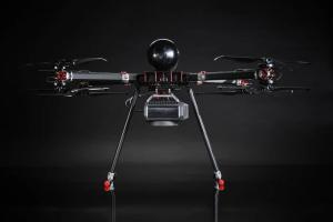
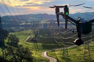
Founded in 2008, Cyberhawk became the first company to conduct utility inspections with drones, and the first company to scale inspections for critical utility assets on both a regional and global basis.
Since then, we have achieved over 35 world firsts. Read about some of our work here, and contact us to discuss how we could help you get the most value from your asset inspection program.
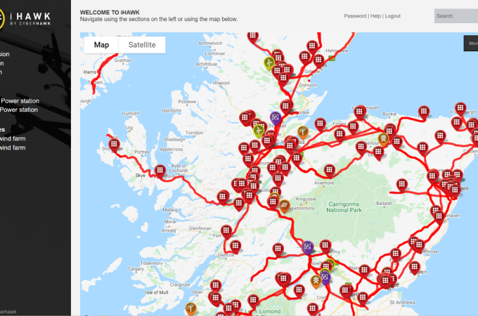
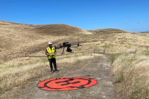
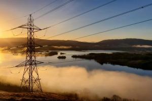
SSEN Transmission keep the power flowing with the early adoption of drones, IoT and visualization software
Learn more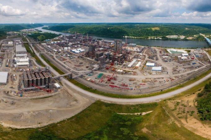
iHawk unlocks full project visibility at Shell Pennsylvania chemicals
Learn more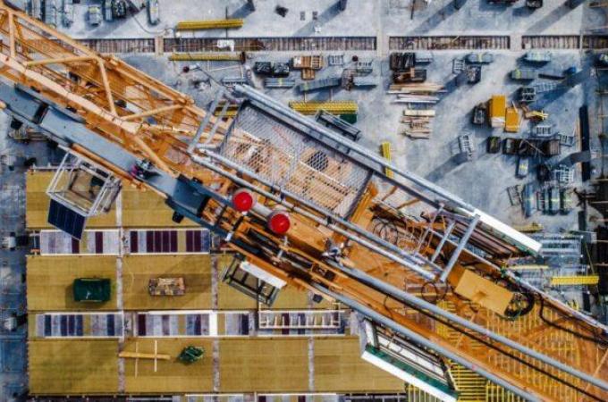
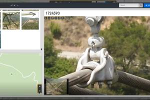
Cyberhawk provides long term support to multi-billion dollar construction project in Central Asia
Learn more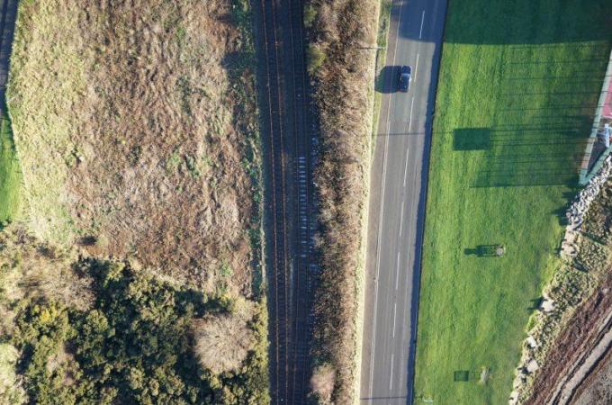
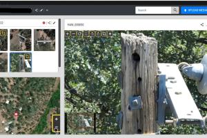
Cyberhawk supports environmental consultant with drone based rail surveys
Learn more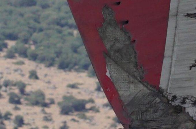
Cyberhawk completes first project in Turkey
Learn more

Cyberhawk selects Phase One to revolutionize drone-based industrial inspections, delivering mor...
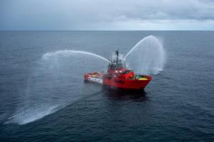
Eyes in the sky: Responding to oil spills with drone technology as part of your emergency respo...

Meet Alina Ilie – the golden thread running between Cyberhawk’s customers, developers and leade...