The challenge...
Utilities companies are facing unprecedented challenges and expectations

The solution...
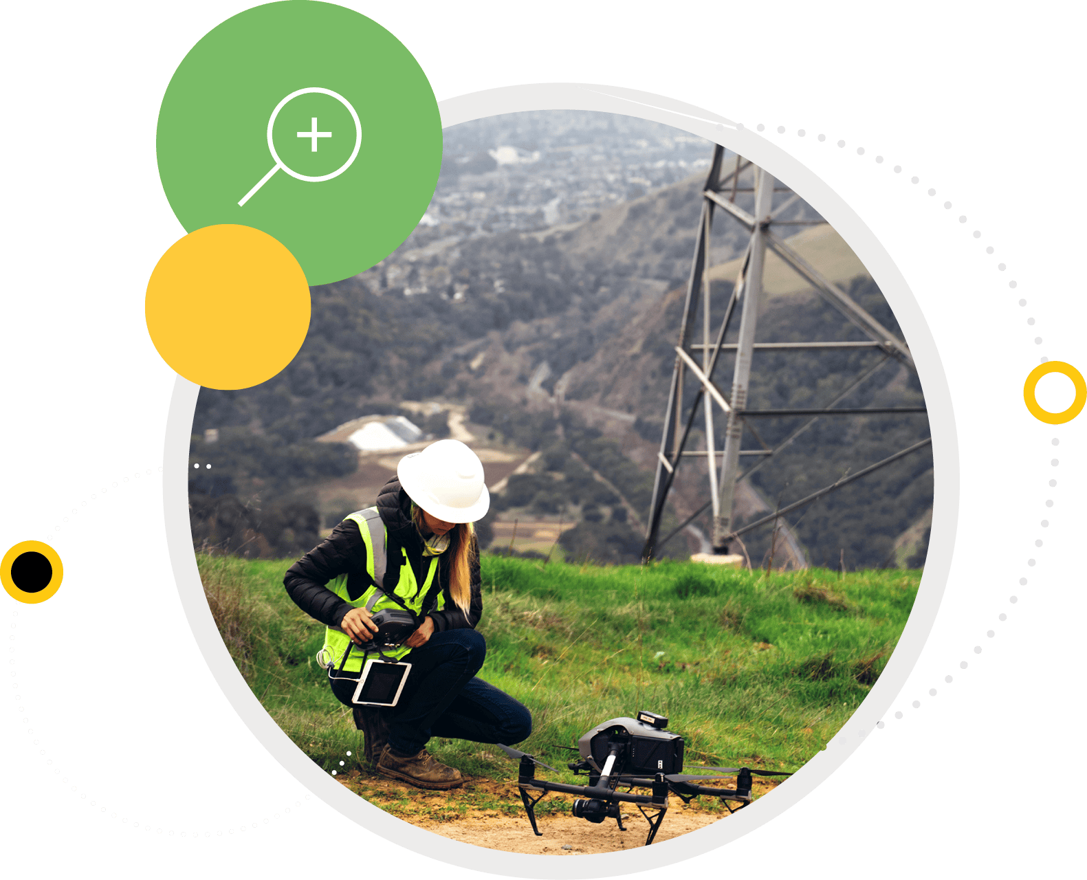
Drone-based visual inspections and surveys are a proven way to gain a major step change in safety, efficiency and reliability.
But that’s just the start…

Driving Speed to Decision
Cyberhawk™ is driven by a core belief that the biggest factor in deriving value from your inspection or survey program is the speed at which you get to clear, effective decisions.
This relies on two key factors: the quality of your data, and how efficiently that data can be turned into actionable insights.
Cyberhawk combines world-class drone operations, engineering expertise and purpose-built visual data management software to deliver end-to-end solutions that elevate your asset management program, and deliver better decisions, faster.
Why Cyberhawk?
Cyberhawk offers best-in-class capabilities across the value chain:
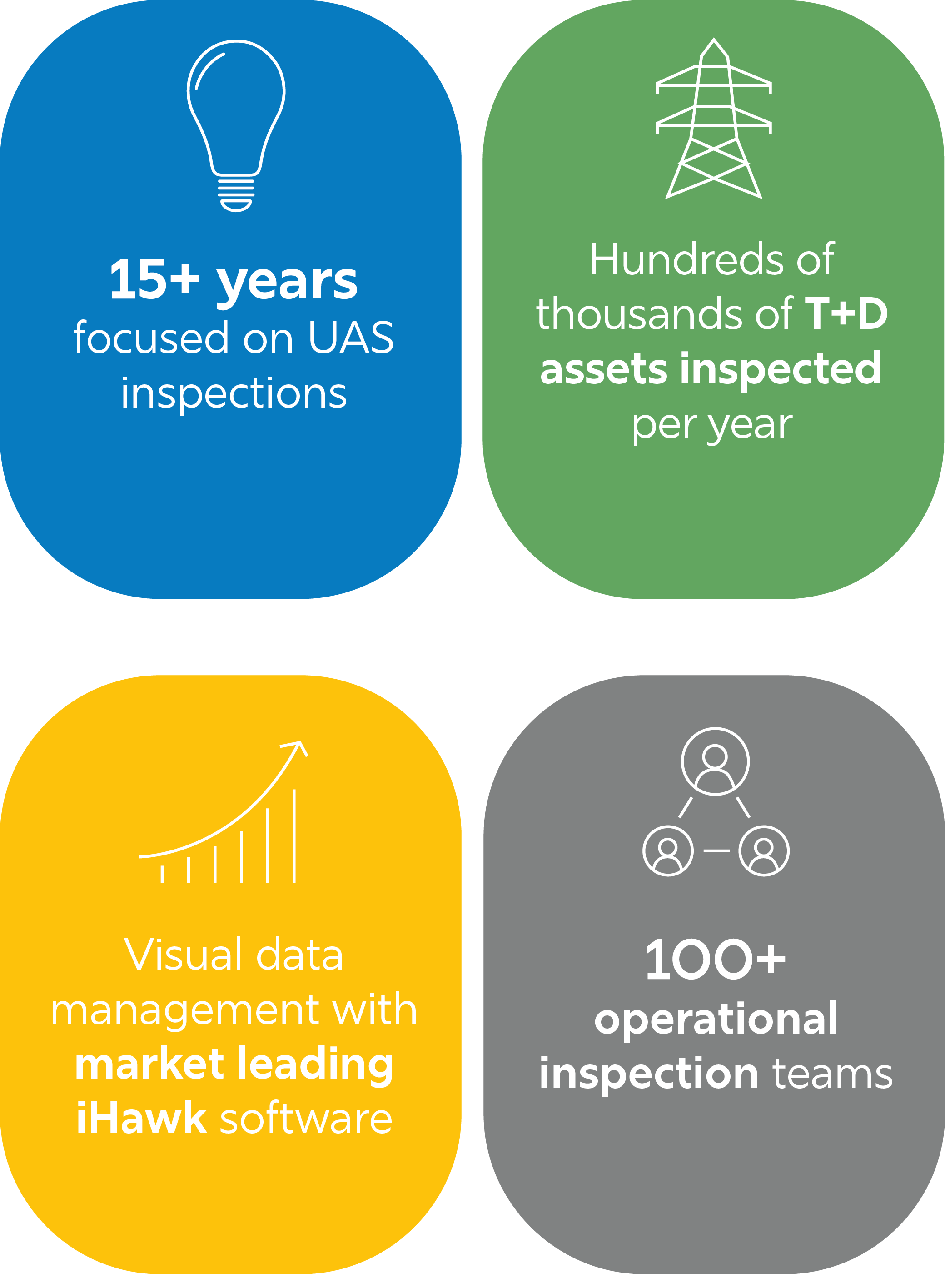
- We have one of the largest pools of highly skilled and experienced pilots in the industry, allowing us to work at any scale, and respond rapidly to emergencies.
- We’re continuously exploring the latest technology innovations to push the boundaries of what is possible.
- Our Aviation and Operations teams handle the UAS equipment, flight plans, airspace permissions, regulatory compliance, and much more.
- Our field teams bring unique engineering and industry expertise critical to optimizing data collection, and our engineers ensure faults are accurately identified and flagged appropriately.
- Our proven visual data management solution, iHawk™, is used by large utilities companies across the globe.

Cyberhawk is the first company to conduct utility inspections with drones and first to scale such inspections and surveys on a regional and global basis. Today we’re the global leader in data collection and visual data management for utilities and energy industries.
We currently operate in over 40 countries from our bases in North America, Europe, and the Middle East, staffed by an industry-leading team of utility veterans, world-class pilots, experienced inspection engineers, and highly skilled software developers.


Our enterprise-grade SaaS visual data management platform, iHawk, empowers you to harness the full power of your visual data. With its intuitive geospatial interface and browser-based operation, iHawk allows you to make fast decisions on your assets, wherever you are in the world.
Maximize
data value
Increase speed
to decision
Improve
reliability
Take your drone data to new heights
Bring together diverse sources of inspection and survey data to provide a single source of truth for visual data on your assets at any scale. Integrating seamlessly into your existing digital ecosystem, iHawk shares data quickly and easily among your stakeholders.
This powerful combination of high quality, democratized visual data, and simplified workflows enables you to perform inspections, track asset condition over time, plan and execute routine maintenance, and respond rapidly to your time-sensitive issues.
Let’s get started
Our teams bring a systematic approach designed to ensure the reliability, safety, and efficiency of the assets and equipment used across your operations.
Contact us today to find out more
thecyberhawk.com
+1 303-358-2625
info@thecyberhawk.com

