News and blogs

Until 2019, utility companies across the U.S. mostly took a ground-based approach to inspecting their assets. However, growing concerns over extraordinary weather events, combined with the fact that our infrastructure is aging, especially in fire-prone areas, meant that something had to change.
Today, we’re seeing a shift toward more proactive, sustainable, and holistic methods. And here’s the kicker: According to North American Electric Reliability Corporation (NERC), there are more than 500,000 miles of high-voltage transmission lines in the United States plus 5 million miles of distribution lines that need constant attention. Combine that with the extreme weather changes and, on average, about 1.7 million acres burning every year from 2002 to 2020, and we’ve got a serious issue on our hands.
The wildfires, especially in places like California, have been unprecedented. Just in early 2025, there were 227 wildfires! The risk for the grid is real, and it’s clear that old-school inspection methods, helicopters, ground crews, and manual checks often overlook key issues. They’re expensive, risky, and often miss crucial details due to weather, distance, or obstructions.
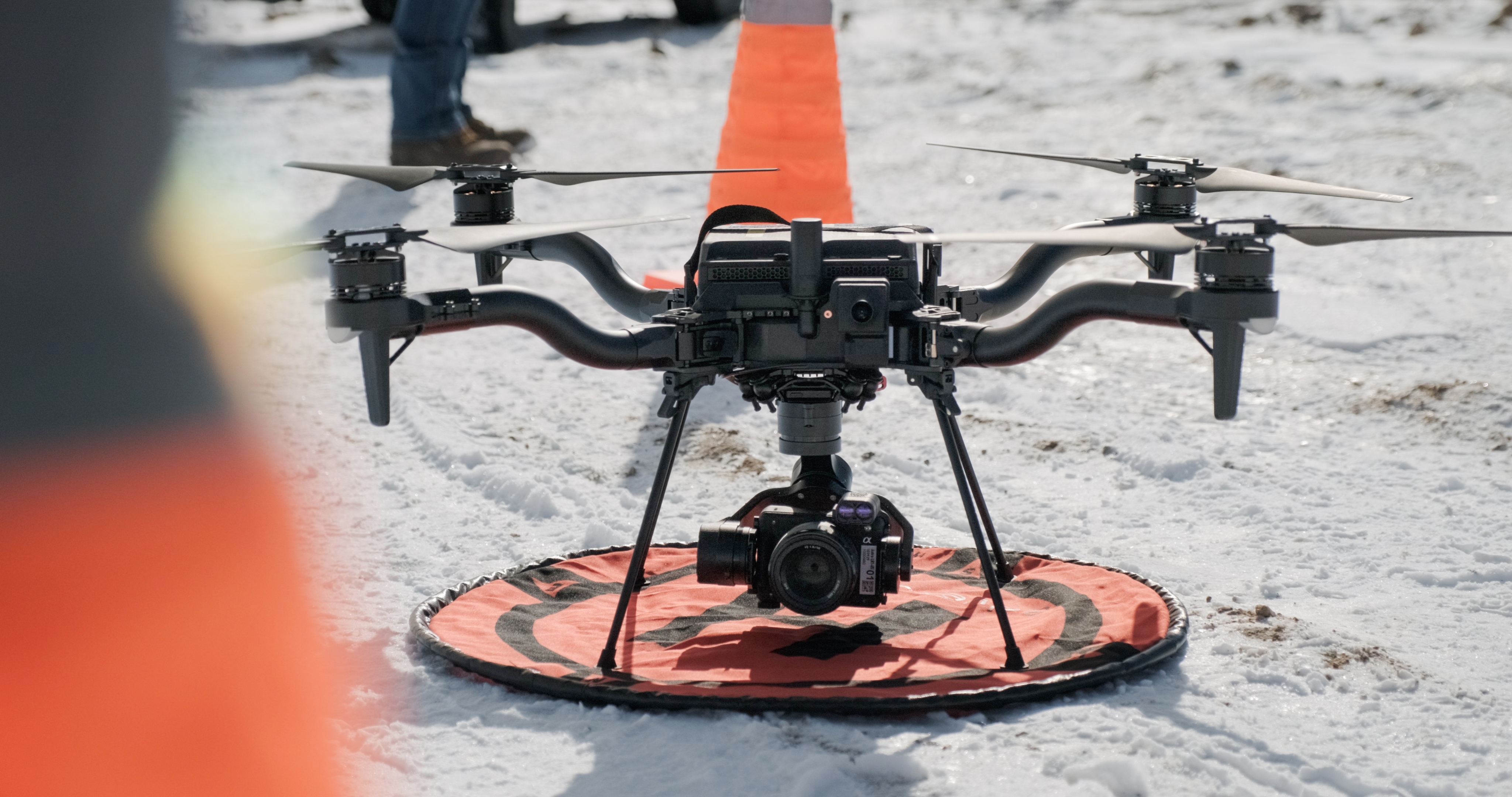
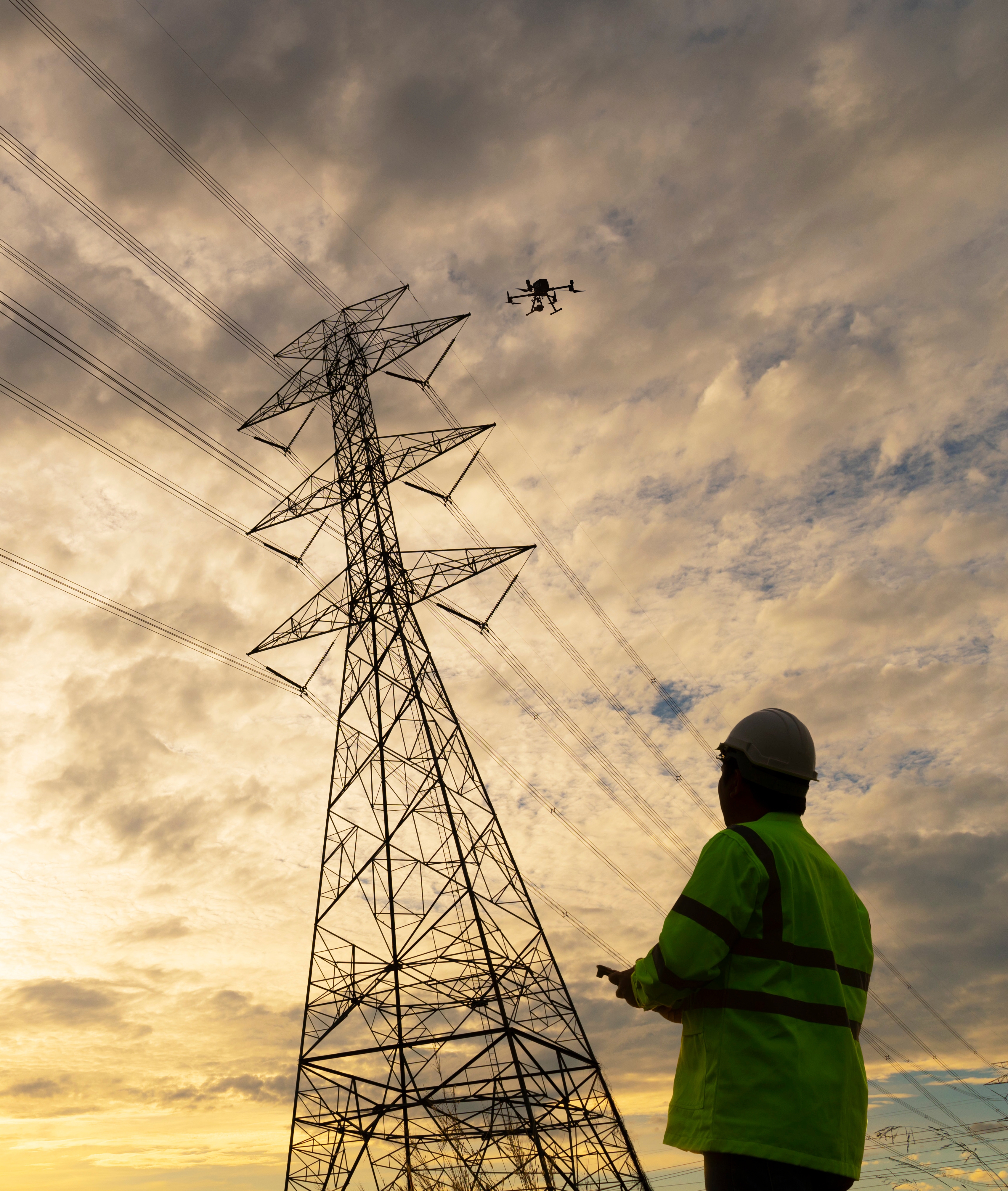
Now, drones are changing everything. These aren’t your average flying toys. We’re talking about high-tech flying machines equipped with high-resolution cameras, Light Detection and Ranging (LiDAR) sensors, and even thermal imaging, making them capable of gathering data faster and more accurately. This new technology lets utilities stay ahead of the game, proactively spotting maintenance issues and encroaching vegetation problems before they become serious problems.
With drones in the mix and put in the hands of highly trained professional pilots, utilities can catch potential problems early, saving time, money, and, most importantly, keeping their teams and utility customers out of dangerous situations. And let’s face it, with 8,005 wildfires in the U.S., burning 168,476 acres from January 2024 to March 2025, as reported by the National Interagency Fire Center, there’s no time to waste. A drone inspection program doesn’t just check boxes; it helps prevent potential disasters before they happen.
Many utilities are already seeing major benefits from drone technology. While safety is very important, it’s also about saving money and enhancing reliability. Drones, operated by specially trained pilots and engineers, give utilities a new way to manage their data. From visual inspections to real-time collaboration with engineering teams, drones help keep the data flowing and the operations smooth.
A game-changer is beyond-line-of-sight (BVLOS) capabilities, meaning drones can cover more ground and capture significantly more data without putting anyone at risk. And it’s not just the big players benefiting. Smaller co-ops and municipal utilities are also seeing impressive ROI, improving system reliability while reducing costs. This is key as co-ops and munis have the same regulatory mandates and reliability objectives as larger utilities, and they often have to meet these mandates with significantly less IT and field staff.
We’re not just talking theory as utility companies are already realizing measurable gains by utilizing unmanned aircraft systems (UAS). One major utility serving millions across the Western and Midwest U.S. partnered with Cyberhawk, a global leader in drone inspections, to modernize its approach to grid reliability. Their transformation followed five strategic steps:
By starting with a localized issue and executing a tightly coordinated response, this utility created a scalable, repeatable model for proactive grid management, enhanced safety, and long-term cost efficiency.
And it’s not just about avoiding outages. One of the largest utilities in California has achieved $180 million in savings with its UAS programs. The drone inspections revealed that thousands of their poles were actually in great condition, meaning they could skip costly replacements. On top of that, the utility’s vegetation management team slashed costs by 25% by cutting out unnecessary truck rolls. Thanks to Cyberhawk’s thorough inspections, the utility now zeroes in on sites that don’t need maintenance at all, freeing up resources to focus on higher-priority areas.
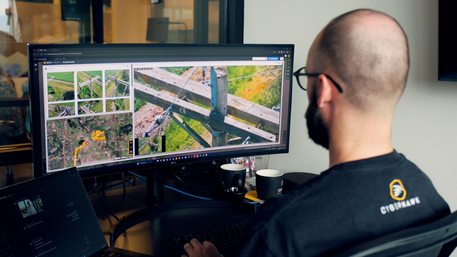
Drones are just the beginning. The real magic happens when utilities can tap into the data these drones collect. A solid UAS program gives companies precise, actionable insights into their infrastructure, whether it’s spotting defects, managing vegetation, or analyzing engineering needs.
The trick is integrating all that data across different departments, like asset management, vegetation control, and legal teams. When everyone has access to the same info, decision-making gets faster and smoother.
With utilities managing millions of assets, staying organized is key. That’s where enterprise-grade visual data management software steps in. The sheer volume of data these drones collect can reach terabytes or even petabytes, so having the right system to organize and retrieve it quickly is essential. Without a solid system in place, you’re just swimming in data, and that’s not useful for anyone.
As UAS programs grow, automation is going to play a huge role. Imagine a world where drones can fly themselves and pilots become highly skilled operators focused on data acquisition. This tech is already in the works, and it’s going to make inspections even more efficient.
We’re also talking about AI-driven image analysis. Instead of relying solely on humans to manually comb through hundreds or thousands of images, AI enables the rapid detection of issues like high-priority defects or vegetation encroachment. Continued innovation in these areas will enable experts to focus on more complex issues, which will deliver enhanced reliability and safety at a lower cost.
The energy landscape is changing fast. Utilities have to adapt to environmental impacts, aging grids, and the integration of renewable energy. But the good news? They’re doing it. By embracing innovations like UAS inspections and AI integration, utilities are not just surviving, they’re thriving.
For any utility looking to step up its game, investing in visual data management software and drone tech is a no-brainer. It’s about improving asset oversight, speeding up workflows, and, at the end of the day, creating a safer, more efficient operation.
The future of utility inspections is here, and it’s flying high.
 | Matt Zafuto has been a leader in improving T&D grid operations and a catalyst for corporate and industry change for the past 30 years. During this time, he has focused on driving business process changes with technology innovations in energy utility operations to address reliability and workforce efficiency. Matt’s career highlights include establishing and executing strategy at the corporate level, aligning line of business objectives to the corporate strategy, and tactical execution of strategic objectives at Fortune 500 companies such as IBM, ABB, and Xcel Energy, most recently as chief commercial officer for Cyberhawk. |