
Comprehensive Situational Awareness
End-to-end geospatial intelligence
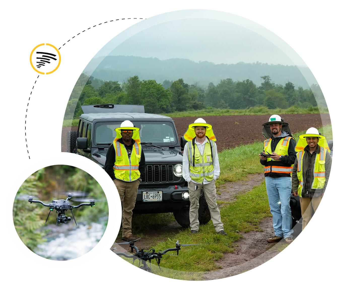
Transform project delivery with geospatial intelligence you can rely on. Our experts capture and process high-resolution aerial data into accurate, georeferenced 3D models and maps. Every asset, surface, and stockpile is captured, giving you a single source of truth.
With this clarity, you can plan, initiate and track projects, spot issues before they escalate, and make confident, data-driven decisions — keeping every milestone on schedule and every project under control.

Orthophotos
Orthophotos are high-resolution, georeferenced imagery that enables precise mapping of an area. By stitching together hundreds of aerial images into a single, geospatially corrected map, orthophotos offer an accurate foundation for planning, inspections, progress tracking and infrastructure assessment.
Orthophotos are a crucial component of site surveys, and the rapid capture and processing of drone-based orthophotos through iHawk reduces the need for costly manned surveys, improves decision-making and enhances safety by minimizing ground access to hazardous areas.
LiDAR
Drone-based LiDAR delivers precise, three-dimensional data for mapping, modeling, and infrastructure management. LiDAR sensors capture millions of data points that create detailed 3D representations of terrain, vegetation, or infrastructure assets, even in areas with dense vegetation or complex structures.
LiDAR has become a valuable tool across a range of sectors, from topographic surveying of complex capital project sites, to power line and pipeline corridor mapping. Compared to traditional ground surveys, drone-based LiDAR provides faster data acquisition, greater coverage, and improved safety, providing more accurate and timely decisions based on verifiable spatial information.


360º Images
Cyberhawk’s immersive 360º ground and aerial tours let you “walk” through facilities or “fly” overhead without ever setting foot on site.
Tours are built from stitched imagery captured by drones and specialized cameras, then stored in iHawk or HoloBuilder for seamless access. Because every tour is saved by date, teams can compare current and historical views side by side — reducing site visits, speeding reviews, and giving everyone a shared, visual record the build.
360º images are especially valuable for construction monitoring, inspection planning and stakeholder communication. The ability to integrate 360° imagery into digital twins or GIS platforms supports project management decision-making and streamlines project workflows.
Photogrammetry
Photogrammetry is the creation of highly accurate 3D models and maps based on captured drone imagery. By capturing overlapping aerial images and processing them through iHawk, our geospatial technicians create detailed point clouds and mesh models; digital twins that provide a foundational component of complex asset management.
Photogrammetry can be employed for managing and maintaining critical infrastructure such as offshore rigs, wind farms, solar arrays, pipelines, and substations, enabling precise measurements and condition assessments. Its ability to deliver high-resolution spatial data quickly and safely reduces the need for manual surveys, enhances project efficiency, and improves decision-making throughout the asset lifecycle.

PILOTS AND FLEET
Expert pilots and advanced drone technology,
working as one
Cyberhawk handles every mission end-to-end, turning complex, high-risk inspections into fast, reliable aerial intelligence for your critical infrastructure. With a deep understanding of your assets and inspection requirements, Cyberhawk builds an inspection program that fits your needs.
The iHawk aerial data management platform: where visual data becomes actionable intelligence, giving you clarity, context, and control

WHY CYBERHAWK?
Our Differentiators

Safety first
Our founding principle is risk elimination. We achieve this by replacing dangerous rope access and manual methods with UAS technology, ensuring zero compromise on the wellbeing of personnel and asset uptime. We keep people out of harm's way, every single day.
Technical leadership
We innovate at the convergence of aviation and software. Cyberhawk's iHawk platform and proprietary AI models deliver a true end-to-end aerial intelligence solution, turning massive volumes of raw data into decisive, actionable maintenance plans faster than any traditional method.
Global expertise
We deploy the industry's largest and most highly trained network of certified pilots and inspection engineers. This expertise guarantees consistent, high-fidelity data collection and accurate defect analysis at every asset, ensuring the integrity and quality of the aerial intelligence we collect.
ESG impact
We are partners in sustainability. By reducing the need for costly, high-carbon site visits and providing verifiable data for emissions compliance and asset longevity, we help customers meet critical decarbonization and governance goals across their entire portfolio.


"Cyberhawk has a lot of experience completing inspections with international oil and gas companies. They cover many work scopes – onshore, offshore, geospatial, methane inspection. If you need it, they can do it."
Qatar Energy

Still worth the risk?
Traditional inspection challenges
Hazardous work
Heights, confined spaces, live equipment — unnecessary risk.
Costly downtime
Assets offline for days. Production stopped. Revenue lost.
Reactive decisions
Manual inspections can miss defects until they're critical.
AVIATE UAS ADVISORY PROGRAM
Expert guidance to accelerate your drone program from concept to scale


