Aerial inspection and survey data managed from the iHawk platform
Cyberhawk unites aerial inspections with geospatial surveys, giving you detailed asset condition data and precise site models in one. That means fewer site visits, faster turnaround, and reliable intelligence to keep projects and operations moving.
Your single source of truth
iHawk platform
COLLECT
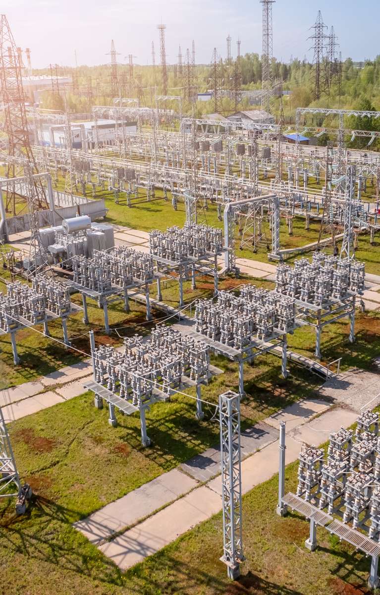
Capture high-fidelity data consistently worldwide
The value of inspection data hinges on its consistency.
iHawk streamlines the entire collection lifecycle. iHawk ensures that high-fidelity aerial and geospatial data (from drones, ground cameras, or third-party sensors) is captured and ingested using standardized, geolocated workflows, regardless of where your asset is in the world. This eliminates data errors and silos at the source. By automatically associating every pixel with its precise location, you gain immediate data integrity and readiness for AI analysis, eliminating wasted time in manual sorting and structuring.
Connect
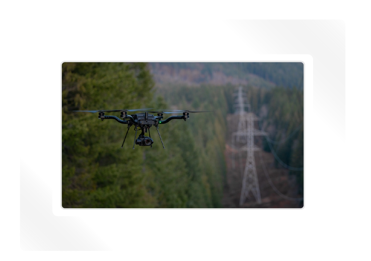
Turn raw data into a precise digital twin
iHawk transforms raw data into a fully contextualized digital twin.
We build a precise, map-based representation of your critical infrastructure, automatically linking all aerial information directly to your established asset hierarchy. This creates the single source of visual truth for your entire enterprise. You no longer manage files — you manage assets visually. You gain immediate situational awareness, enabling your teams to navigate complex, distributed infrastructure from any desktop, dramatically reducing the need for costly and time-consuming site visits.

SHARE
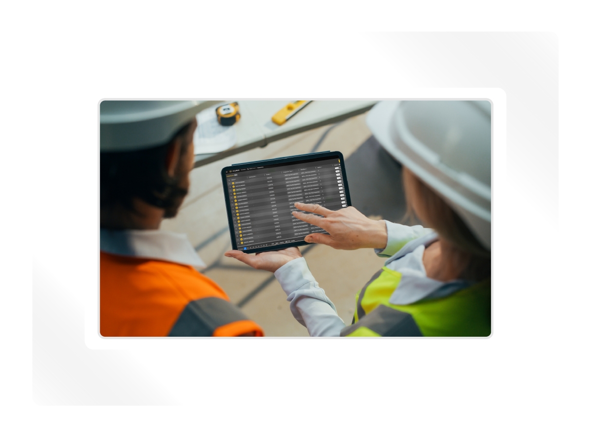
Share across all stakeholders
Aerial intelligence isn't useful if it's trapped in a department or on a hard drive.
iHawk democratizes your asset data across the organization. Through secure, configurable permissions and a cloud-based interface, stakeholders from asset owners to finance executives gain instant access to the exact data they need, no matter their location. Features like collaborative annotation and time-series comparison tools ensure everyone is working from the same verified facts. You accelerate collaboration and alignment on critical decisions, replacing long email chains and manual report generation with immediate visual context.
Inspect
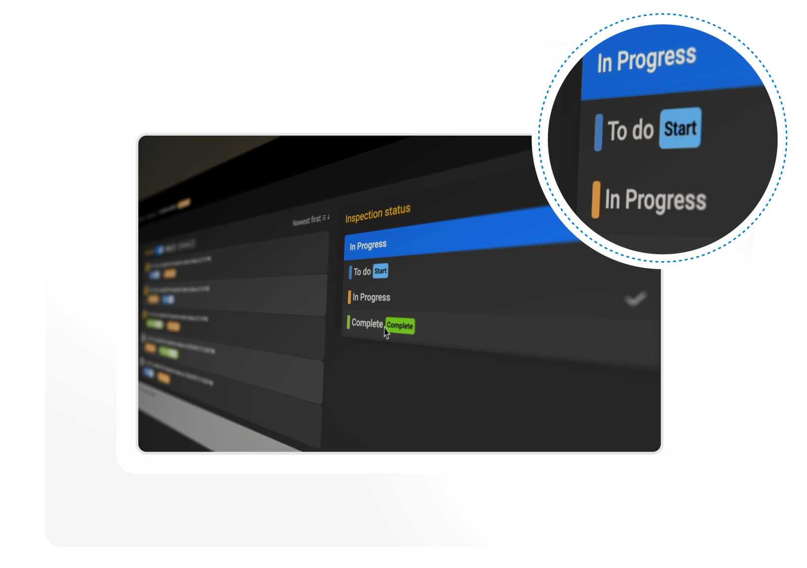
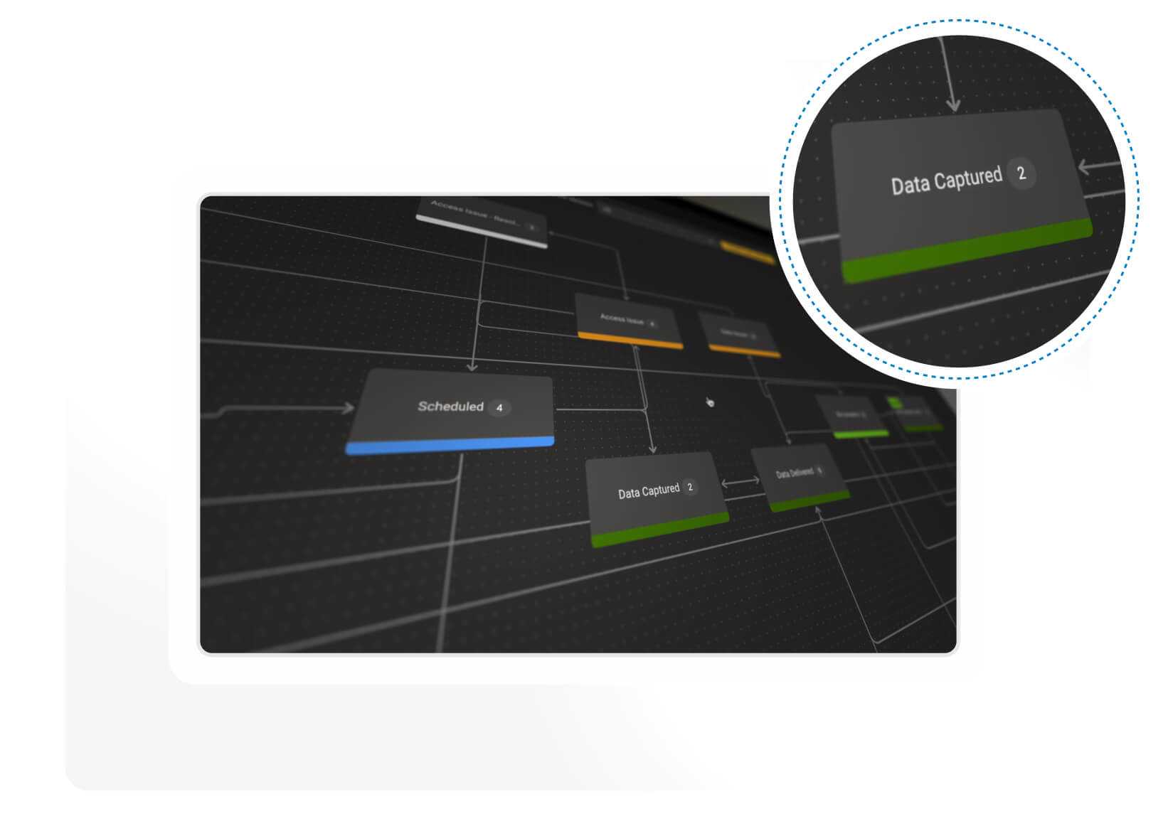
Inspect assets at scale
iHawk inspection module, Visualive™, turns detection into action.
iHawk uses AI to automatically analyze drone-captured imagery, instantly identifying and tagging asset components and classifying defects such as corrosion, cracks, or damage. Our standardized "traffic light" severity rating is automatically applied, making the data measurable and quantifiable. You bypass the slow, subjective manual review process, ensuring every inspection is consistent, auditable, and immediately prioritized for maintenance planning based on clear, quantifiable evidence. This efficiency drives your speed to decision.
Integrate
Integrate with your workflows
iHawk is designed to enhance your existing digital ecosystem, not replace it.
Using open APIs and customizable workflows, the platform seamlessly integrates with your critical enterprise systems, including ERP, maintenance management, and work order management tools. When a defect is confirmed in iHawk, the resulting work order and visual evidence can be automatically pushed to your maintenance system. You unlock the full ROI of your data by automating the "last mile" of intelligence — getting the right information to the right technician without manual data entry or translation.
Track
Track asset condition over time
iHawk unlocks the long-term, predictive value of your inspection program.
By time-stamping and geolocating every image and defect within the digital twin, you can execute precise, visual trend analysis over months and years. This capability allows you to monitor degradation rates, understand asset life cycles, and forecast failure probability. You move your maintenance strategy from reactive fixes to predictive planning, enabling confident, risk-based budgeting and long-term CAPEX decisions. That's how data becomes true asset intelligence.
AERIAL DATA MANAGEMENT
iHawk differentiators
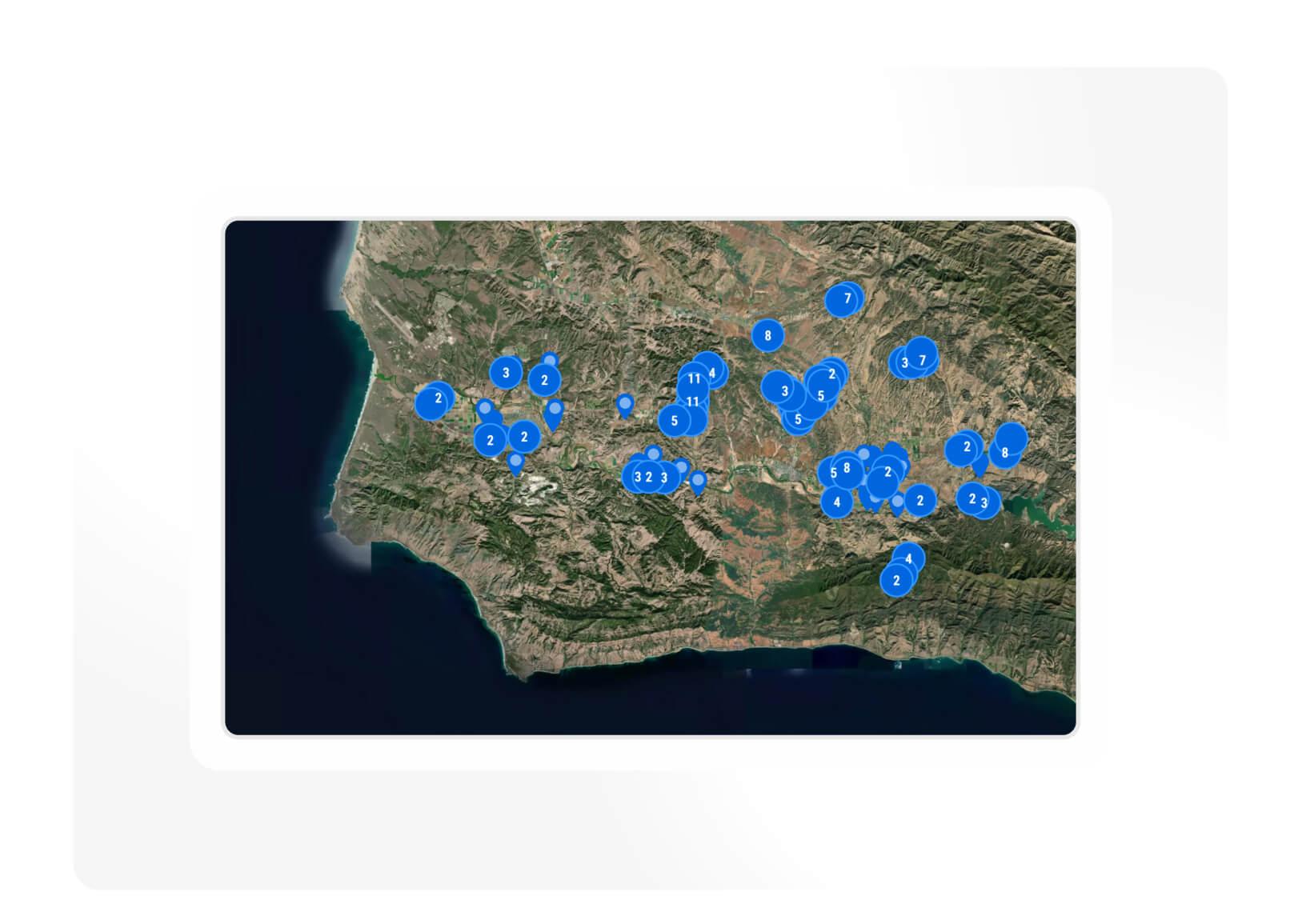
A single source of geospatial truth
When asset data is scattered across systems, visibility suffers. iHawk brings together drone, satellite, helicopter, ground, and IoT sensor data into one geospatial workspace to create a single source of truth. It provides real-world context and live situational awareness, giving operators a unified view of asset health across entire networks.
Built-in engineering workflows
Inspection data only creates value when it leads to action. Designed by engineers, for engineers. iHawk streamlines the drone-to-decision process. Configurable workflows and defect grading systems tailored to asset types turn aerial data into work orders, track repair status, and ensure consistency across teams from the field to the control room.
AI-enhanced
insight
Manually reviewing thousands of images slows decisions and risks inconsistencies. iHawk uses AI to accelerate analysis, detecting components and classifying defects in seconds. Engineers can verify, refine, and act on insights instantly, blending automation with expertise to drive faster, more informed decisions.
Seamless integration and collaboration
Disjointed applications and siloed teams can stall progress. iHawk plugs directly into your enterprise ecosystem: EAM, WFM, OMS, and beyond. Its open APIs make global collaboration effortless, ensuring engineers in the field and managers in the office work from the same verified data. No miscommunication. No silos. Just shared clarity.
Experience that delivers
Leading scope and scale in
aerial intelligence
operating in
40
countries
over
300
customers
more than
11k
users
over
500k
inspections


"iHawk enables us to combine 3rd party data, inhouse, offline, app data and having that single source of truth where anyone can open the platform and visualize whatever is needed."
Bechtel