
Sectors
Capital Projects and Infrastructure Oil, Gas and Marine Power Grid Power Generation Renewables UtilitiesOur Solutions
Drone Services
Engineering Inspections Geospatial Surveys Emissions Monitoring Our Pilots and FleetVisual Data Management
iHawk™Advisory Services
AVIATE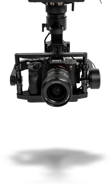
Case Studies
Founded in 2008, Cyberhawk became the first company to conduct utility inspections with drones, and the first company to scale inspections for critical utility assets on both a regional and global basis.
Since then, we have achieved over 35 world firsts. Read about some of our work here, and contact us to discuss how we could help you get the most value from your asset inspection program.

Example case study
Learn more
iHawk unlocks full project visibility at Shell Pennsylvania chemicals
Learn more
Cyberhawk provides long term support to multi-billion dollar construction project in Central Asia
Learn more
Cyberhawk supports environmental consultant with drone based rail surveys
Learn more
Cyberhawk completes first project in Turkey
Learn more

Cyberhawk Partners with Global EPC Firm to Deliver AI-Ready Data Infrastructure in the US

Cyberhawk and Explicit Launch Multi-Million Euro Offshore Drone Campaign for Emissions Measurem...

AVIATE: Advisory Program to Help Organizations Launch or Scale Unmanned Aerial System Inspectio...


