iHawk
Harnessing the power of visual data
iHawk is an enterprise-grade, SaaS cloud-based inspection and asset management platform that integrates geovisual intelligence, drone data, and satellite imagery to enhance real-time asset monitoring. It provides situational awareness, predictive maintenance, and lifecycle management tools.
Whether managing large-scale projects or visualizing geospatial data, iHawk enables fast and efficient, data-driven decisions, empowering teams to monitor and maintain critical infrastructure remotely and effectively.

iHAWK
Collect
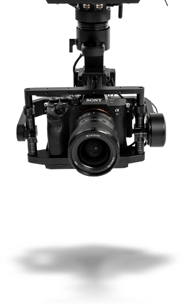
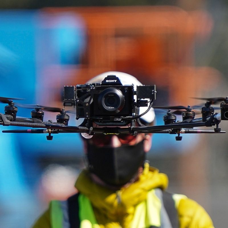
iHawk streamlines data collection from multiple sources, including drone inspections, geospatial intelligence, and satellite imagery, creating a unified view for real-time asset monitoring. This enterprise-grade, SaaS platform ensures consistent data-driven visual asset management at any scale, driving infrastructure digitalization in a range of global industries.

iHAWK
Manage
Effortlessly manage and analyze your data with iHawk’s intuitive interface and visual data management tools. The platform enables predictive maintenance, defect detection, and compliance reporting, driving your speed to decision and maximizing asset performance.

iHAWK
Deliver
iHawk delivers actionable insights in real time, providing situational awareness through geovisual intelligence. The platform supports seamless integration across enterprise asset management workflows, ensuring precise and timely information for enhanced decision-making.
DEEP DIVE
iHawk brings together three key integrated subsystems designed to enhance asset management:
Leveraging drone data, satellite imagery, and geospatial intelligence for real-time asset insights.
Immersive contextualization
– core geovisualization provides the underlying map interaction based
on a variety of image types such as: satellite base maps, orthophotos, 360 views, 3D Point Cloud and 3D Mesh.
Simplifying visual data management, enabling predictive maintenance, compliance reporting, and asset monitoring.
Situational awareness – easily unify disparate information of all types – 360 views, digital elevation models, schematics, documents, equipment locations – into a single pane of glass view to enable quick and efficient retrieval and decision-making.
Visual evidence and change monitoring – regardless of how dynamic an area or site may be, iHawk provides point in time visual evidence together with toolsets to compare changes over time.
Providing actionable insights and situational awareness with geovisual intelligence to support your speed to decision and maximum up time.
Organize media with ease – iHawk takes care of organizing your high-resolution image files in order to start using them effectively and immediately.
Better inspections in less time – iHawk focuses on
making the image-based inspection process as efficient as possible with
rapid image visualization, easy annotations, and configurable defect
types.
Connect intelligence between field and office – whether
it is an asset concern, access issue, or vegetation encroachment, iHawk
drives attention, communication, and closure of blocking issues.
CYBERHAWK
Learn more about Cyberhawk and our work
Renewables
Cyberhawk’s drone technology delivers close visual and thermal inspections for wind turbine maintenance.
Find out morePower grid
Cyberhawk helps clients manage the entire power grid from generation through transmission and distribution.
Find out moreCapital projects & infrastructure
iHawk harnesses the power of visual data to provide full situational awareness and project visibility to all key stakeholders.
Find out moreLEADING THE WAY
Our mission is clear
As leaders in the industry, we commit to ongoing innovation. This means that we deliver technology and best practices which drive actionable insights to our customers at scale. Our ongoing commitment to innovation is core to our mission to capture and deliver the best data and information for our customers to help them make better decisions about their assets, and faster.